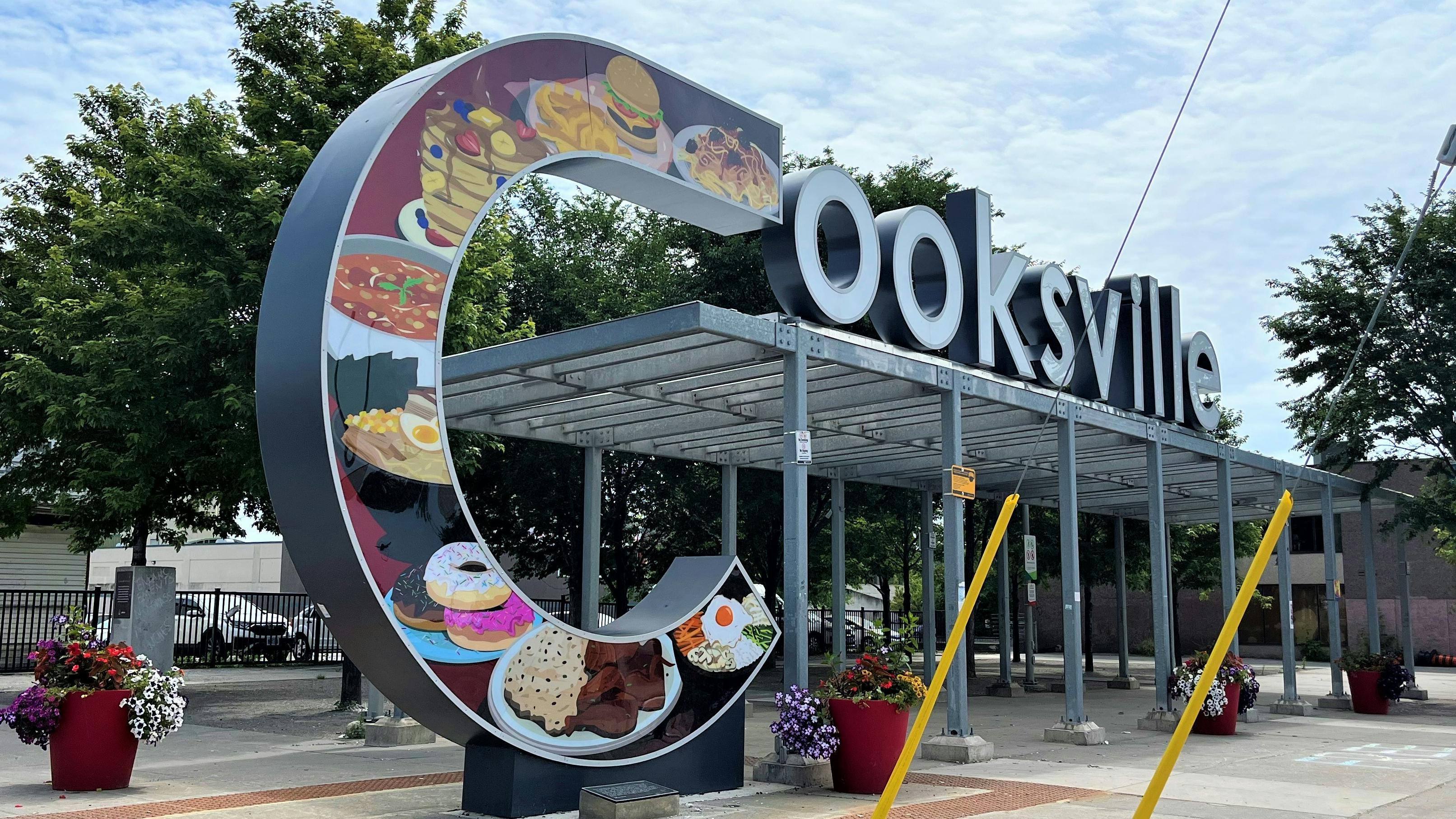
Cooksville Sustainable Neighbourhood Action Program (SNAP)
The City of Mississauga, in collaboration with Credit Valley Conservation and the Region of Peel, is working to develop a Sustainable Neighbourhood Action Program (SNAP) in the Cooksville neighbourhood. The goal of the SNAP is to develop an action-oriented plan to make Cooksville Creek and the surrounding neighbourhood more sustainable and ready for a changing climate.
The Neighbourhood
The area of focus for the Cooksville SNAP is a neighbourhood spanning over 300 hectares along Cooksville Creek in south central Mississauga. It is situated south of the Canadian Pacific Railway Line to Queen Elizabeth Way Highway and between Confederation Parkway and Cliff Road.
Developing the Action Plan
Since last fall, over 1,000 residents and representatives from local organizations and community groups have completed the first round of consultation for the project. They shared important insights into what they value about their neighbourhood as well as ideas for future actions. We’ve used this feedback to prepare a draft Action Plan. The draft Action Plan consists of one Vision, five Goals and 30 Actions proposed for the neighbourhood.
If you live, work, or play in the neighbourhood, we want to hear from you. We are seeking your input to help us strengthen the Action Plan. The final action plan will be released in 2025.
Page last updated: 07 Aug 2024, 03:11 PM
Follow Project
Stay informed
Subscribe for project updates
Project Timeline
Open
Sustainable Neighbourhood Action Program has finished this stage
This consultation is open for contributions.
Under Review
Sustainable Neighbourhood Action Program is currently at this stage
Contributions to this consultation are closed for evaluation and review. The project team will report back on key outcomes.
Final report
this is an upcoming stage for Sustainable Neighbourhood Action Program
The final outcomes of the consultation are documented here. This may include a summary of all contributions collected as well as recommendations for future action.