
FAQs
- Review and summarize existing constraints in the transportation network
- Review network connectivity as well as multi-modal integration at key locations (e.g. nodes, major transit station areas, mobility hubs, major transfer points)
- Review the need and justification for the road capacity improvements the City has already identified in the Capital Plan
- Examine and evaluate the range of potential transit priority, high-frequency, and rapid transit alternatives in the City
- Assess potential people movement options to address congestion pinch points in the transportation network
- Incorporate the principles of Vision Zero into transportation infrastructure improvement options
- Prepare a strategy for identifying mode share targets
- Assess the potential need and justification for additional rail grade separations in the City
- Develop a prioritization and phasing plan for the recommended transportation infrastructure improvements
- Transportation Master Plan – The development of the Transit and Road Infrastructure Plan will complete three of the actions identified in the Transportation Master Plan. The Transportation Master Plan provides overarching guidance on the future of transportation in Mississauga and specifically calls for mode specific infrastructure plans. The Transit and Road Infrastructure Plan will focus on development of a long term road network, a long term transit network, and mode share targets.
- The Changing Lanes project will update, develop and implement new tools for staff, developers, and other street providers to ensure our streets are safe and more convenient for all users. The Changing Lanes project will consider inputs from the Transit and Road Infrastructure Plan project in the development of a new Road Classification plan.
- The Downtown Movement Plan will function as a technical background study to the Downtown Strategy. It will provide an implementable multi-modal transportation plan for the Downtown Core that supports the Downtown Strategy, works to achieve the City’s Transportation Master Plan objectives, consolidates current plans, and considers future transportation projects and development patterns. The Transit and Road Infrastructure Plan will adopt the recommendations / infrastructure plan coming out of the Downtown Movement Plan.
- Next MiWay Five is the next iteration of MiWay’s 5 year operations plan. This project is expected to be completed in the fall of 2020 and will be used to inform the Transit and Road Infrastructure Plan.
- The Pedestrian Master Plan aims to improve the pedestrian network, infrastructure, policies, programs, and environment so that people of all ages and abilities have the freedom to move freely and comfortably as a pedestrian. The Transit and Road Infrastructure Plan will consider recommendations coming out of the Pedestrian Master Plan and how they fit into the overall transportation network.
- The City’s Official Plan provides policies that guide and direct the physical change of the city. We’re reviewing the existing Official Plan to ensure it reflects the changing needs, opportunities and aspirations of our city. To guide this Official Plan Review, the Transit and Road Infrastructure Plan is updating two schedules (Schedule 5 Long Term Road Network and Schedule 6 Long Term Transit Network) for the Official Plan. It will help ensure that the Official Plan transportation policies reflect our Transportation Master Plan’s (TMP) vision and goals.
- Major Transit Station Area Study is being undertaken by the Region of Peel in consultatio300n with the City of Mississauga. This is significant work delineating the major transit station area boundaries and relates to the Mississauga Official Plan City Structure that is also under review. The Transit and Road Infrastructure Plan will consider recommendations coming out of the MTSA study.
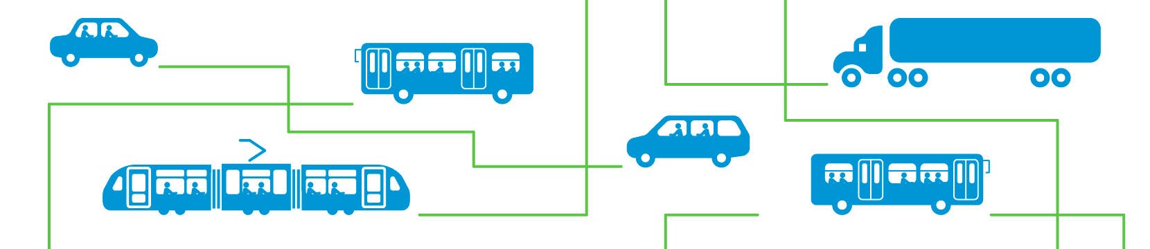
What will the Transit and Road Infrastructure Plan do?
The Transit and Road Infrastructure Plan project will aim to achieve the following:
What parts of the City is this project looking at?
The Transit and Road Infrastructure Plan will cover the whole city.
How can I participate in the development of the Transit and Road Infrastructure Plan?
There will be opportunities for the public to provide input throughout the project. We recommend that you sign-up for project updates and engage with our online tools throughout the project. You may unsubscribe from these emails at any time. Send us a question or comment at any time to provide your feedback.
We will be holding an on demand virtual online public meeting fall / winter 2020 / 2021. Material will be available for review and comment over a 3 week period, 24 hours a day. Note that this schedule may change due to the ongoing response to the COVID-19 pandemic. Face-to-face engagement will be considered when it becomes safe to gather in public, and staff’s key priority is to ensure that engagement is universal and equitable.
How does this project connect with other City plans and projects?
The Transit and Road Infrastructure Plan ties into several transportation-related projects in the City: